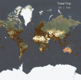
The very first blog post I ever wrote demonstrated how to calculate distance between locations
Tag: Mapping

How can you join your non-spatial data to spatial data? Using the latest spatial functions, you can achieve spatial joins in Tableau with almost any data source.

How can you leverage SQL Server geospatial tools in Tableau to draw cool curved flight
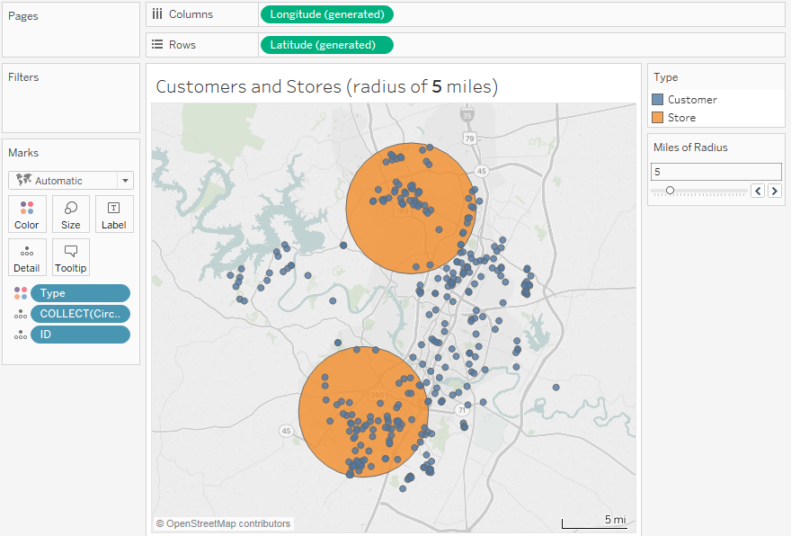
Tableau 2018.1 introduces a lot of new features, especially geospatial features that open a whole
All Calculations Data Blending & Joining Mapping / Geographic Visualization Tableau Tip Tuesday Tips and Tricks
Tableau Mapping Tip: Geographic Drill Down
Previously, we saw how to capture and use Tableau’s automatically generated latitude and longitude for
Tableau has outstanding built-in geocoding capabilities. If you have countries, states, zip codes, congressional